
E P Collier Primary School and Nursery
Geography Spring
Continents and Oceans
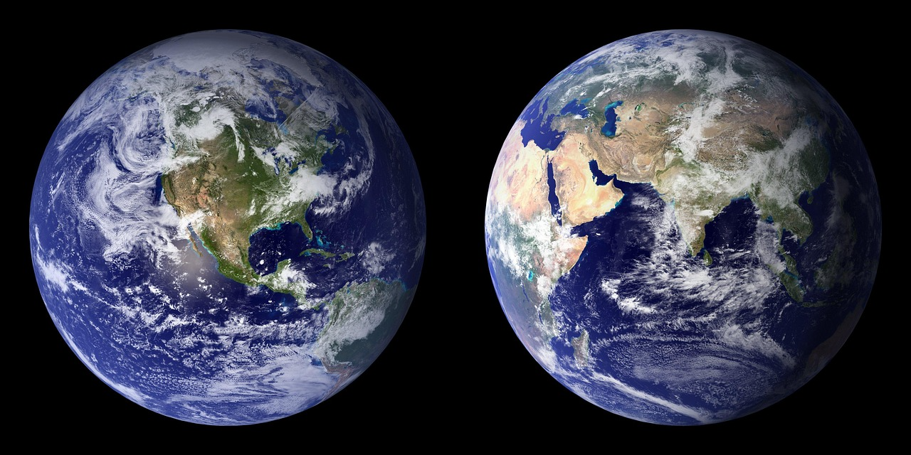
Children will learn to name and locate the world’s seven continents and five oceans, developing their understanding of the wider world and where we live within it. They will use maps and globes to identify each continent and ocean, and begin to use simple compass directions—North, South, East and West—to describe locations and routes. They will also develop their map skills by drawing simple maps, using symbols and creating a key to explain what each symbol represents. Through these activities, they will build confidence in reading and creating maps while strengthening their sense of place and direction.
Key Skills that run through the Geography Curriculum in year one and two:
-
To identify seasonal and daily weather patterns in the UK
-
Use vocabulary associated with the seasons and weather; Spring, Summer, Autumn, Winter, cold, warm, hot, wind, dry, rain, shower, drizzle, sleet, hail, ice, snow, sun, cloud, storm, thunder, lightning, fog, mist, temperature
-
Use a world map, atlas and globe to identify the 4 countries and capital cities of the UK, the world’s oceans and continents, the position of the Equator, North and South Poles and the location of the hot and cold areas of the world
-
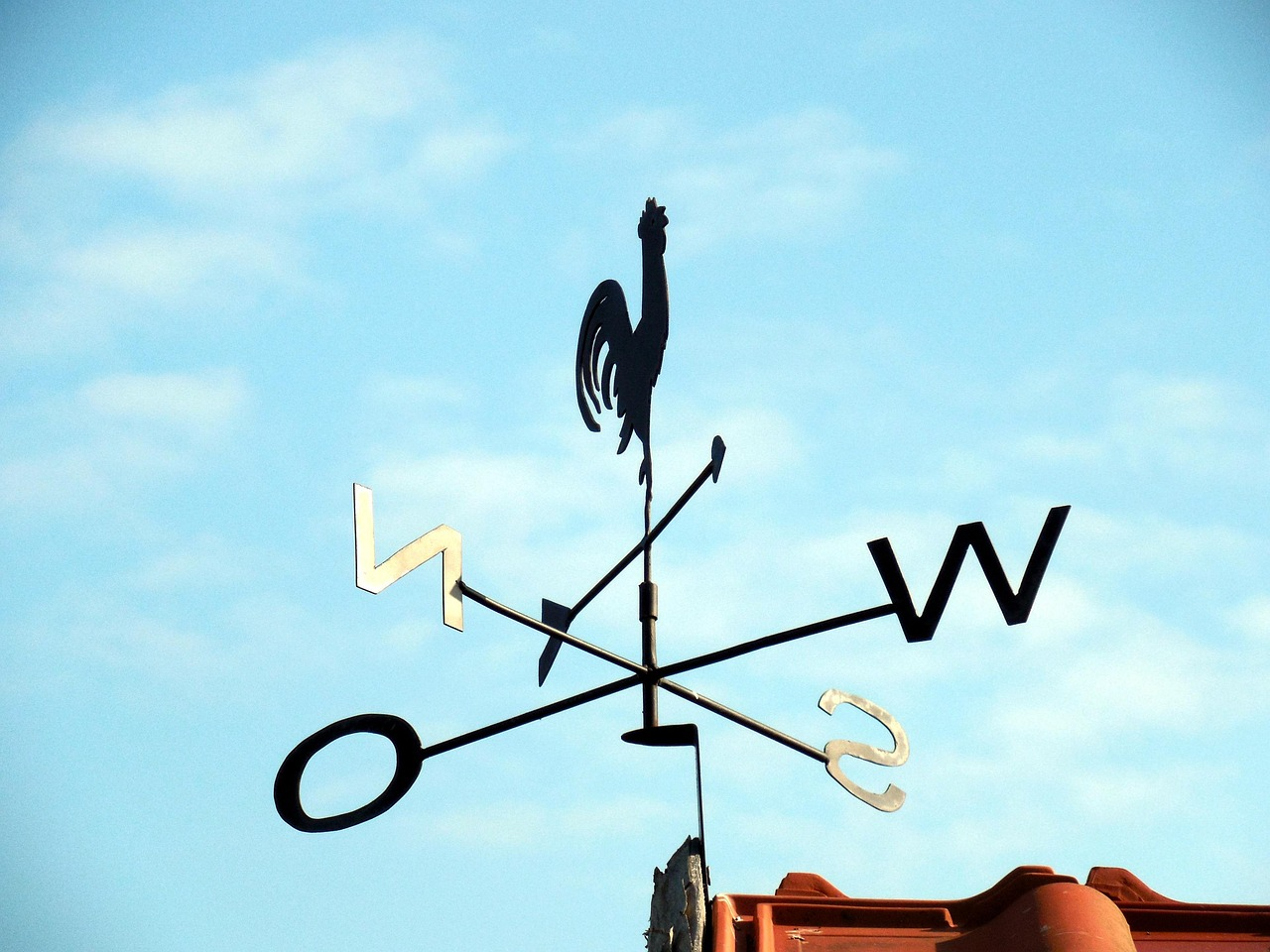
Use N S E W compass directions
-
Use locational and directional language to describe location of features and routes on a map; left, right, straight on, above, below, alongside, beneath, next to, adjacent to, after, before, amongst, between, in front of, behind
-
Use aerial photographs and plan perspectives to recognise landmarks and basic human and physical features
-
To devise a simple map and basic symbols on a key
-
Understand basic geographical vocabulary including; beach, cliff, coast, forest, hill, mountain, sea, ocean, river, soil, valley, vegetation, season, weather, city, town, factory, farm, house, office, port, harbour, shop
-
Use simple field work and observational skills to study geography of school and grounds and surrounding area
-
Communicate geographical information through description, pictures and simple maps